


 New Delhi. 21 June 2024. Every year, the International Hydrographic Organisation (IHO) celebrates the World Hydrography Day to raise awareness about hydrography and how it plays a vital role in improved knowledge of the seas and oceans. The theme for 2024 is “Hydrographic Information – Enhancing Safety, Efficiency and Sustainability in Marine Activities” in consideration of the on-going transformation in navigation, such as e-navigation, autonomous shipping and reduction of emissions leading to a profound evolution of hydrographic services.
The Indian Naval Hydrographic Department (INHD) functions under the Indian Navy as the nodal agency for Hydrographic surveys and nautical charting in India. The department has the mandate to undertake hydrographic surveys and publish navigational charts. Till date, more than 650 electronic and paper navigation charts covering the national and international waters have been published for utilisation of merchant mariner and navies of the world. Last year, the department has distributed over 6.5 Lakh Electronic Navigational charts to seafarers operating in these waters and has earned a revenue close to 8000 Lakh rupees to the exchequer which is estimated to grow further in the future.
The department as NAVAREA VIII coordinator, covering an area of 26 Million sq. km of Indian Ocean, shares information concerning safety of navigation at sea through the web portal “India WINS – Indian Warning Information and Navigation Services”. This module provides near-real-time information and since its launch in Dec 2022, it has crossed over 3.5 million views with an average of over 3500 visitors per day in keeping with Digital India initiative of the Government.
The National Institute of Hydrography (NIH) at Goa is the centre for imparting training in Hydrography and is accredited by International Hydrographic Organisation for National and International Trainees for award of Cat A and Cat B certificates. Till date, more than 800 trainees from 41 different countries have been trained at NIH.
In line with Government of India’s SAGAR initiative, the survey ships of the Indian Navy have conducted various joint survey operations with friendly foreign nations covering an area of 89000 sq. km in the last five years and have produced 96 charts. The department has also assisted them by capacity building and knowledge sharing. These efforts are undertaken by indigenously built survey ships mapping the vast Indian Ocean Region.
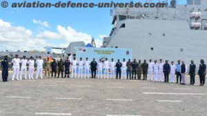
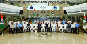
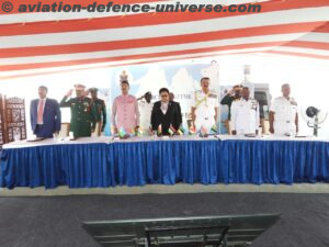
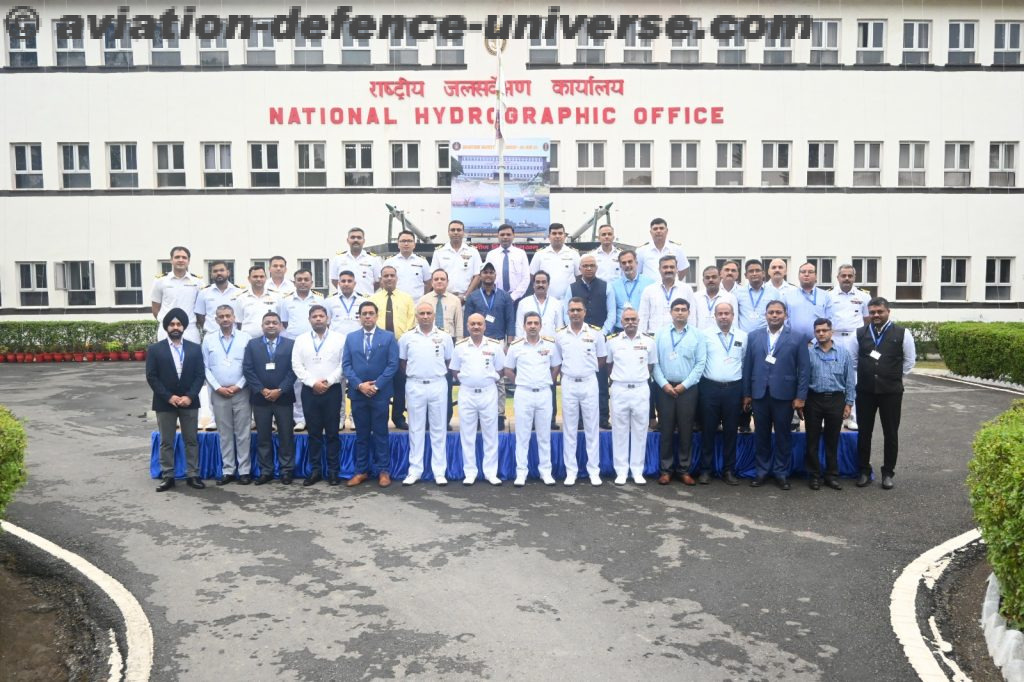
As a part of the World Hydrography Day, a maritime workshop was conducted at the National Hydrographic Office on – Hydrographic Information – Enhancing Safety, Efficiency and Sustainability in Marine Activities on 20 Jun 24. The workshop was attended by guests and dignitaries from over 25 Indian ports and offices. In addition, this office has been conducting Hydrographic Survey Committee meetings in consultation with Office of Joint Secretary Ports at New Delhi till last year. This year the Hydrographic Survey Committee meeting is being conducted at this office on 21 Jun 24 commemorating World Hydrography Day.